
Location
Within the urban growth boundary with excellent access to arterial road network.

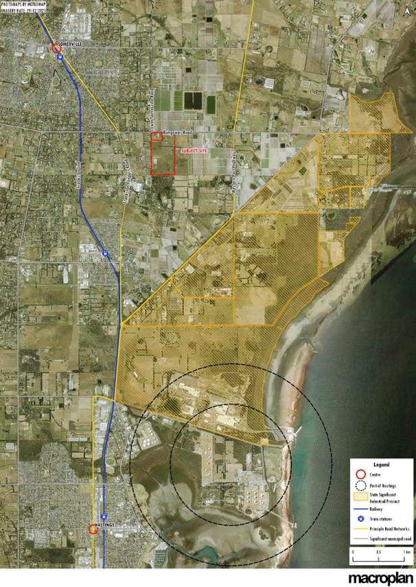
The combined property is approximately 37 hectares, and is located on Bungower Road between Lower Somerville Road and the Westernport Hwy.
The site comprises two lots, described as follows:
79 Bungower Road is the largest of the two lots that make up the subject site. Zoned Industrial 3, the site has a 245m frontage onto Bungower Road as well a 675m frontage along Lower Somerville Road with an overall site area of 33.87ha.
The vast majority of the land consists of cleared vegetation and is unused.
83 Bungower Road is a corner lot located to the north-west of the site, where Bungower Road and Lower Somerville Road intersect. Zoned Industrial 3, the site is covered by a Heritage Overlay (Schedule 269 - Thomas Brunning’s Farm) and has a 205m frontage onto Bungower Road with a length of 141m along Lower Somerville Road
with an overall site area of 2.977ha.
The site comprises two lots, described as follows:
79 Bungower Road is the largest of the two lots that make up the subject site. Zoned Industrial 3, the site has a 245m frontage onto Bungower Road as well a 675m frontage along Lower Somerville Road with an overall site area of 33.87ha.
The vast majority of the land consists of cleared vegetation and is unused.
83 Bungower Road is a corner lot located to the north-west of the site, where Bungower Road and Lower Somerville Road intersect. Zoned Industrial 3, the site is covered by a Heritage Overlay (Schedule 269 - Thomas Brunning’s Farm) and has a 205m frontage onto Bungower Road with a length of 141m along Lower Somerville Road
with an overall site area of 2.977ha.
The Surrounding Area
Major Roads
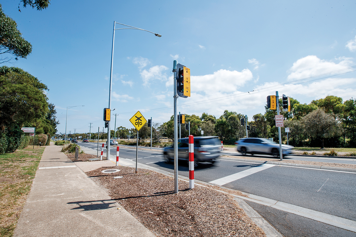
The site is well positioned with proximate access to two key arterial roads – Frankston-Flinders Road and the national freight route (Western Port Hwy). The site also has relatively direct access to Yaringa Harbour via Whitneys Road and Lumeah Road. Bungower Road provides direct main road access to Western Port Highway (east) and Frankston-Flinders Road and Peninsula Link (to the west).
Port Hastings
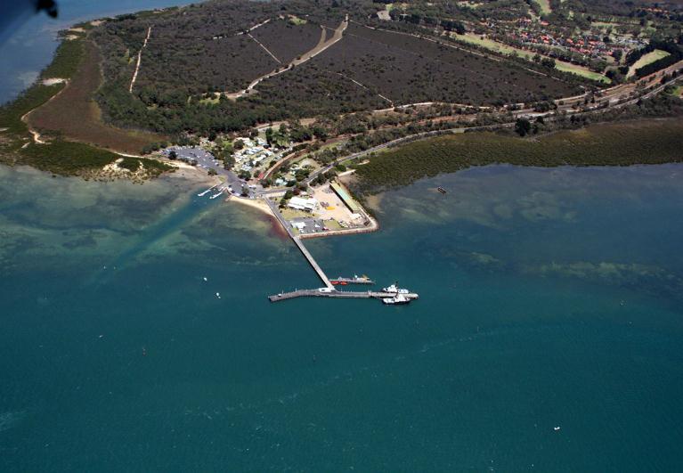
The Port of Hastings is located approximately 70 kilometres southeast of Melbourne and some 5km from the shores of Western Port. The port acts as a gateway to major industries, which include a hub for oil and gas imports and a major steel product manufacturing facility. There are four established jetty complexes with the Western Port-Altona Gippsland (WAG) pipeline linking the Bass Strait oil and gas fields with the Port Hastings processing facilities. The site is located 6km to the north-west of Port Hastings. Plan Melbourne and Melbourne Industrial and Commercial Land Use Plan (MICLUP) classifies the Port of Hastings as a State Significant Industrial Precinct (SSIP).
Local Town Centre
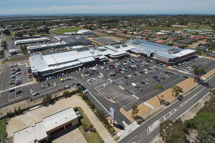
The sites are located along the fringe of Somerville’s urban area. Somerville is situated 55km to the southeast of Melbourne CBD. The town is approximately 38km2 with a population of 11,336 (2016 Census). To the sites North and beyond Bungower Road is farmland that falls under the Green Wedge Zone (Schedule 2). Farmlands surround the general close-by vicinity of the sites to the North,
East and South. Lower Somerville Road is located to the sites West, an unsealed road that consists of low density residential zoning. Directly adjoining the site to the East and South is farmland zoned Special Use Zone (Schedule 1).
East and South. Lower Somerville Road is located to the sites West, an unsealed road that consists of low density residential zoning. Directly adjoining the site to the East and South is farmland zoned Special Use Zone (Schedule 1).